

Case Study 3 / CityScope AI — Urban Perception Dataset
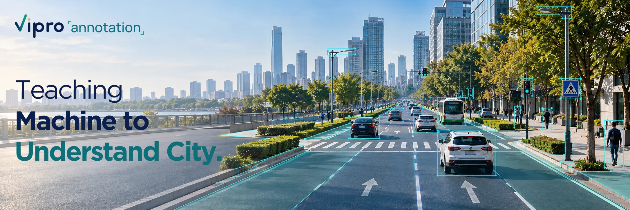
Teaching machines to understand the city.
Turning complex urban environments into structured data for autonomous perception and 3D mapping.
- Application
- Autonomous Systems
- Data
- Urban Street Imagery
- Annotation
- Polygon + Bounding Box
- Platform
- CVAT
Turning complex streets into structured spatial data.
Urban environments contain countless surfaces and objects that autonomous systems need to understand. This project focused on precisely annotating city surfaces and infrastructure while maintaining consistent classification across the dataset.
From raw streetscape to structured city data.
The annotation workflow transforms the same urban scene from an unstructured image into a consistent, machine-readable dataset.
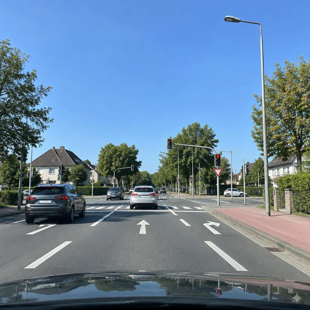
The city before annotation.
The original scene contains complex surfaces, infrastructure, and urban objects without machine-readable structure.
Clear rules. Consistent annotations.
| 01 Define the scene. Establish clear rules for surface boundaries, object categories, material classifications, and annotation priorities before production begins. | 02 Classify what the scene contains. Apply polygon annotations to roads, walkways, parking and green areas, while using bounding boxes to identify infrastructure and urban objects. | 03 Review across the dataset. Check annotations against standardized guidelines to ensure the same surfaces, materials, and objects are classified consistently throughout the project. |
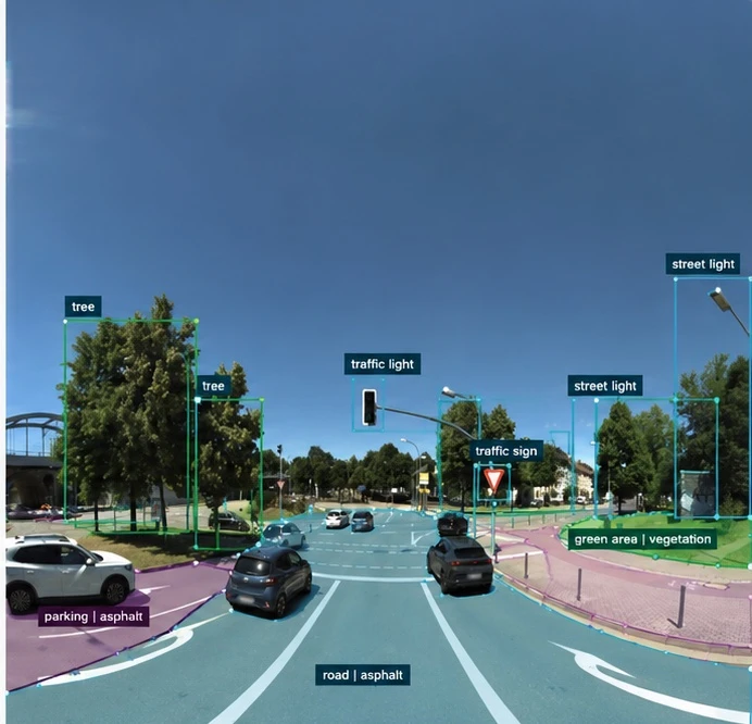
A polygon tells you where a surface is. A bounding box tells you what an object is.
Polygon annotation defines the spatial extent of urban surfaces such as roads, walkways, parking areas, and green spaces. Bounding boxes identify discrete infrastructure and objects including street lights, traffic lights, traffic signs, and trees.
Not just annotations. A consistent dataset.
Quality was treated as a dataset-wide requirement rather than a frame-by-frame task. Annotations were reviewed against standardized project guidelines to maintain consistent boundaries, classifications, object labels, and material definitions.
| ✓ Consistent polygon boundaries |
| ✓ Correct surface classifications |
| ✓ Accurate object bounding boxes |
| ✓ Correct material classification |
| ✓ Standardized object classes |
| ✓ Reviewed annotation consistency |
| ✓ Validated final dataset |
Built with CVAT.
CVAT was used as the annotation platform for applying the project-defined polygon and bounding-box workflows, supporting structured labeling and consistent review across the dataset.
From visual data to urban intelligence.
The resulting annotations transform complex urban imagery into structured information about surfaces, materials, and infrastructure—supporting downstream computer vision, autonomous perception, and 3D mapping workflows.