

 Back to the journal
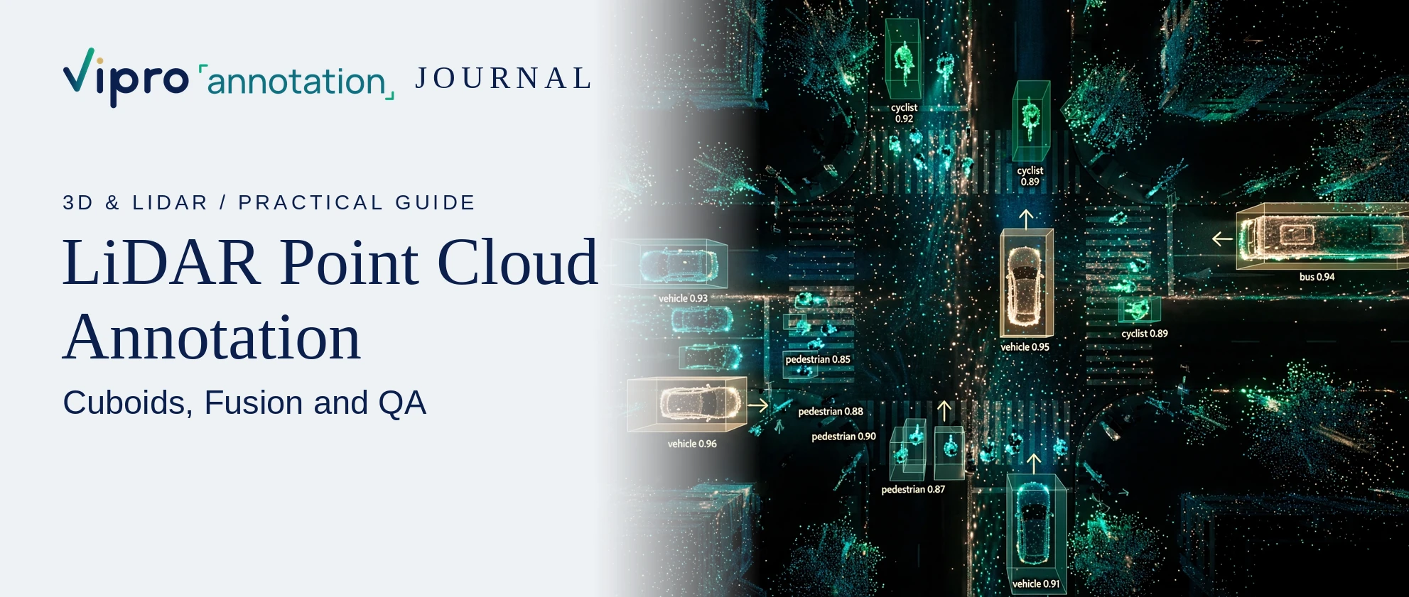
LiDAR Point Cloud Annotation: Cuboids, Fusion and QA
Short answer: LiDAR point cloud annotation means marking objects and surfaces in 3D sensor data so perception models can learn depth, size and position. The main methods are 3D cuboids (boxes with length, width, height and heading), point-level segmentation, and tracking the same object across frames. When cameras are also used, labels are linked between the 2D image and the 3D cloud (sensor fusion).
What a point cloud is
A LiDAR sensor sends out laser pulses and measures how long they take to return. Each return becomes a point with X, Y, Z coordinates, often with intensity. A single sweep can contain a very large number of points; close objects are dense, far objects are sparse.
That sparsity is the core challenge: a pedestrian at long range may be only a handful of points.
Main annotation types
3D cuboids
A 3D box with position, dimensions and yaw (heading). Used for vehicles, pedestrians, cyclists and other road users. Rules must define:
- whether the box fits the visible points or the estimated full object;
- how heading is set for objects that are stationary or seen from behind;
- minimum points before an object must be labeled.
Point cloud segmentation
Each point is assigned a class: road, sidewalk, vegetation, building, vehicle and so on. Used for drivable area, mapping and scene understanding.
Lanes, curbs and freespace
Polylines or regions marked on the ground plane for lane-level planning and free-space estimation.
Multi-frame tracking
The same object keeps one ID across a sequence. This lets models learn motion and helps reviewers spot boxes that jump or change size between frames.
Camera-LiDAR sensor fusion
Many vehicles carry several cameras and one or more LiDARs. Fusion annotation links them:
- a 3D cuboid is projected onto each camera image to check alignment;
- 2D boxes in images and 3D boxes in the cloud share the same object ID;
- calibration files (intrinsic and extrinsic) must be correct, or projections will not line up.
Good fusion work catches errors that are invisible in one view alone, such as a cuboid that looks fine in 3D but sits on the wrong car in the image.
Common edge cases
- Very distant or partly hidden objects with few points.
- Reflective surfaces and rain or fog creating noise.
- Groups of pedestrians close together.
- Trailers, articulated buses and unusual vehicles.
- Objects split across the edge of a sweep.
Each needs a written rule with an example.
QA checks that matter for 3D data
- Dimension consistency: the same car should not change size between frames.
- Heading checks: headings should follow the direction of travel for moving objects.
- Track continuity: IDs should not switch between objects.
- Projection checks: projected cuboids should align with objects in camera images.
- Coverage: every object above the agreed point threshold is labeled.
- Agreement metrics: 3D IoU between two annotators on a sample shows how consistent the team is.
Practical tips for buyers
- Share sensor specs and calibration files at the start.
- Agree on coordinate systems and export format (for example a common open dataset format or your own schema).
- Pilot on your hardest scenes, not your easiest.
- Decide whether labels are per frame or per tracked sequence before pricing.
Have a dataset in mind?
Start with a Free Calibration Pilot